Remote Sensing
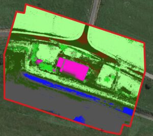
Land Cover Classification based on different UAV-acquired data types
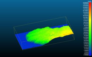
Following an UAV data acquisition, orthoimages for RBG, RE, and NIR bands as wel as a DSM are calculated. Different combinations of these images are fed into a classification algorithm to test how important each band is for the resulting classification.

