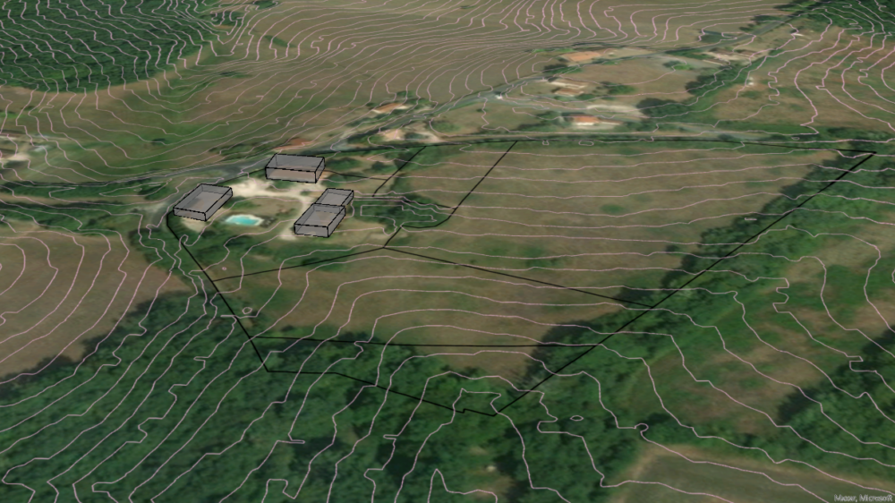
For this freelance project, the task was to perform a very quick suitability analysis for the development of a property in southern France. Without being at the location, a quick insight into the layout of the cadastre parcels and an overview of the topology is gained.
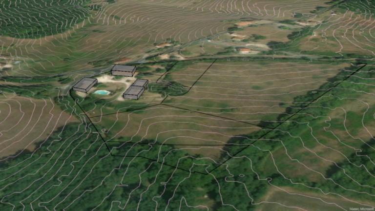
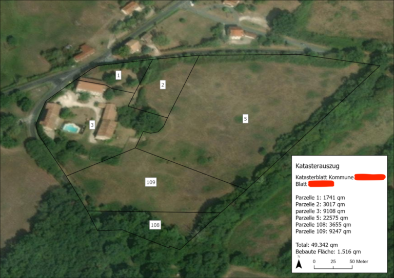
The task was to do some Open Source research, finding cadastre data on the the property and dissect the lots, as well as gain an insight into the topography of the property and assess the footprint of the buildings.
Data Sources
- Satellite Image: Google Sat XYZ-Tiles
- Cadastre: Local Government Cadastre PNG
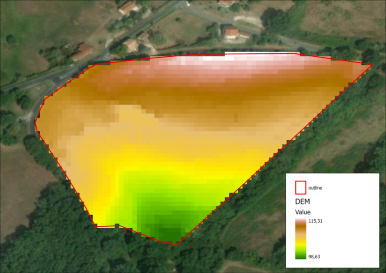
- DEM: 5m Open Data France
Cadastre Georeferencing
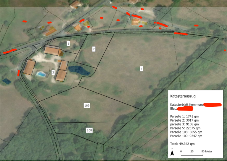
Using QGIS, the PNG of the relevant cadastre image is georeferenced.
Terrain Analysis
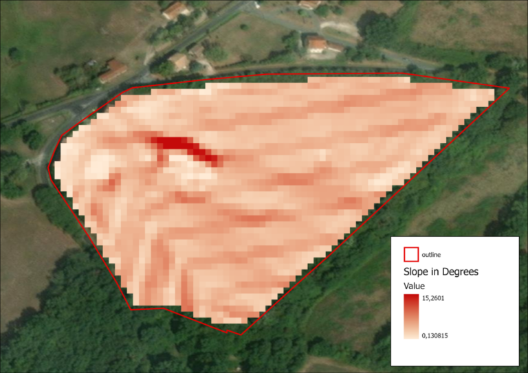
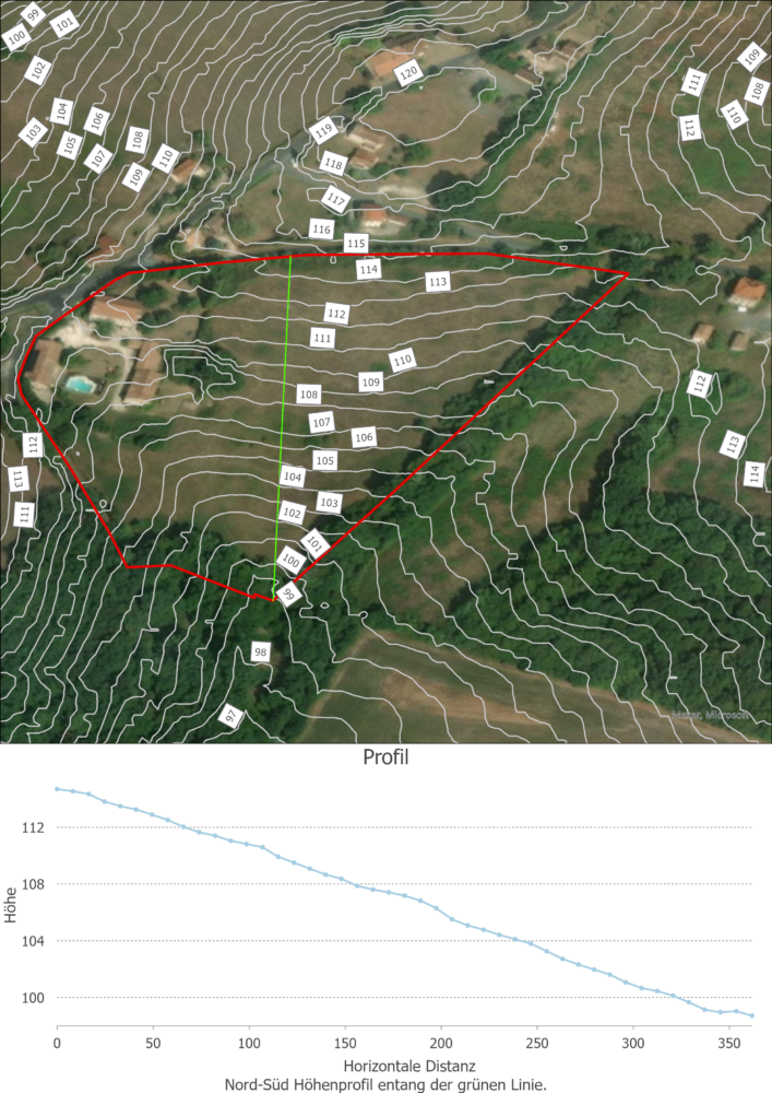
Using the 2m Open Data DEM, the topography of the property is investigated.
